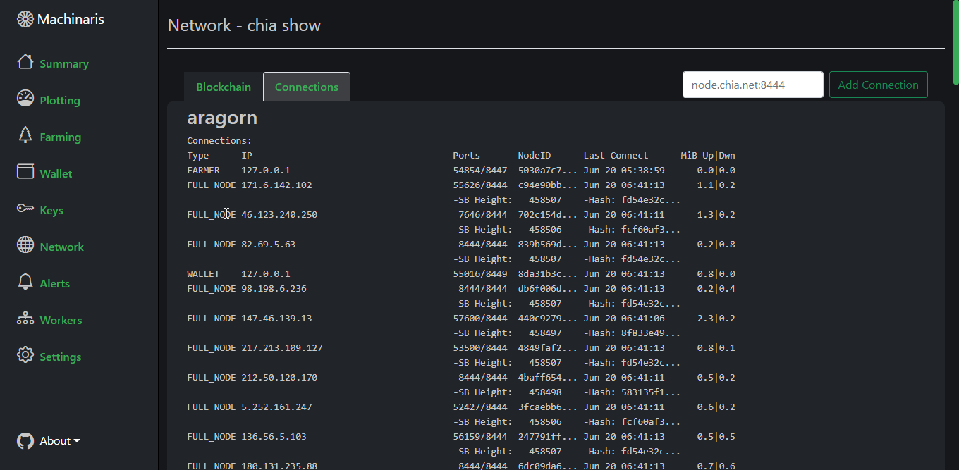
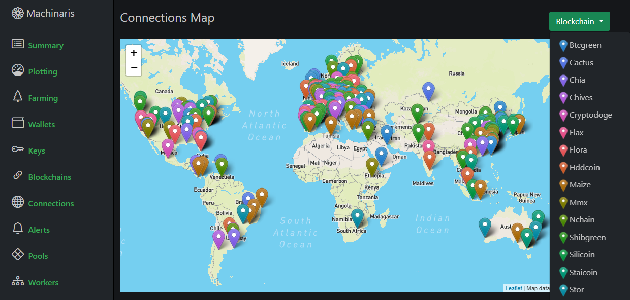
All blockchains supported by my Machinaris cryptocurrency platform are peer to peer networks, connecting with other nodes all around the world. Previously, the Machinaris WebUI simply displayed the Connection details in a tablular format. Efficient but boring…

So, instead I set out to present the location of network peers on a map, by querying public APIs for locations of their IP addresses:

Geolocation
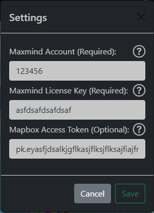
After evaluating multiple services for getting locations from IP addresses, I selected Maxmind. They have a decent free-tier API service. So each Machinaris user who is running Machinaris on their local network, needs to only register for a free Maxmind account. They then enter the Maxmind account details into their install of Machinaris:

Once activated, their Machinaris install will begin geolocating their network peers and display on their map. By having each user have their own Maxmind account, along with some intelligent caching I added, the number of Maxmind requests is small and well within the limits of the free service.
Mapping
Building on my previous mapping work, dating back all the way to an old project of mine named the Baby Name Map, I selected Leaflet as the mapping library. An excellent open-source project, Leaflet makes it easy to embed simple maps onto a website.
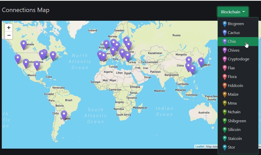
Optionally, one can add their Mapbox free account details, to have some nicer looking tiles displayed, particularly as one zooms. As well, using the drop-down menu, it’s possible to filter by blockchain, to see just peers for that network. Example for the Chia blockchain:

Conclusion
They say “a picture is worth a thousand words”… and clearly it’s true when it comes to displaying geographic data such as a world-wide peer network. It’s been fun to dust off my mapping skills and work with such great open-source projects and free APIs.
More in this series…
- Chia on Unraid - Chia CLI on Unraid with Docker
- Machinaris - a new WebUI for Chia on Unraid
- Distributed Farming - Machinaris on many worker systems
- Internationalization - Translating and localizing a Python web app.
- Python Profiling - Profiling Python with Py-Spy